Land Registry plans Bristol are an appropriately scaled metric drawing
delineating the land or part of a building over which the leaseholder has
exclusive or shared access.
In order to comply with the requirements it must include certain information: detailed floor plans at a scale of 1:100 or 1:200 location plan at a scale of 1:1250 north point coloured line indicating the demise of the subject property.
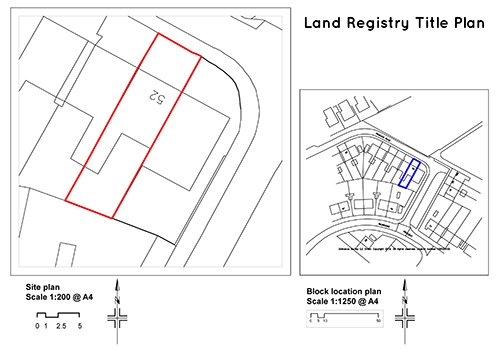
It is important for the plans to be of good quality because they ensure that the applications submitted to HM Land Registry will be processed accurately and effectively.
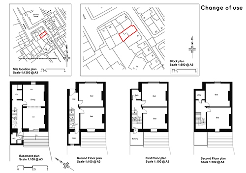
When you submit a land registry plans application in Bristol you need to be
able to identify the location and accurate extent of the land in relation to the Ordnance Survey map. They need to show the extent of the land together with any rights that go with it and needs to comply with the Land Registry practice guide 40, which you can find here.
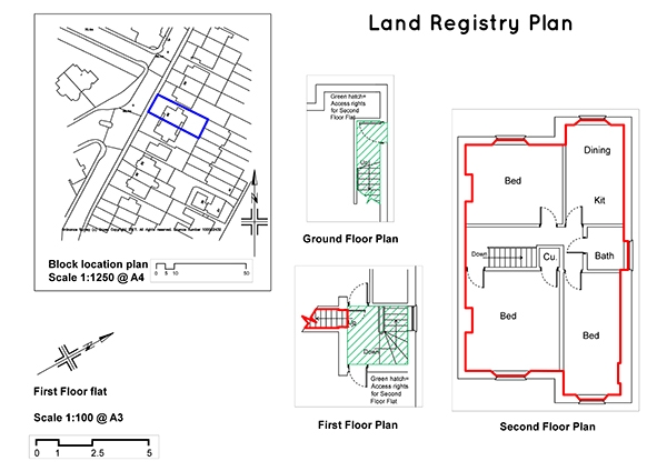
When drawing up Land Registry plans Bristol it is important to ensure that it is accurate and relates to the current state of the property. The property needs to be clearly defined by way of suitable reference such as colouring, edging or hatching.
For further information, please follow this link.